This project focuses on just how much space current cars and vehicle infrastructure, such as parking lots, take up, and how future technologies could combat this issue. It explores using graphics to convey information. This project was informed by research on current data and hopes to convey how a flawed system could be revolutionized by drawing attention to the issue by asking if this space could be used better. The focus area is in Boulder in order to make the project feel close to home for my audience of CU boulder students and staff. The project takes the form of a webpage that can be found here with an additional paper found here.
Through this project, I explored using QGIS, a geographic information system software to illustrate how much of central Boulder’s land is used for parking. Then, using Adobe Illustrator and After Effects, I created graphics and GIFs to represent the data and illustrate how old ideas of mobility impact the way we interact with the land and transportation every day.
All parking lot polygons in Boulder nested together
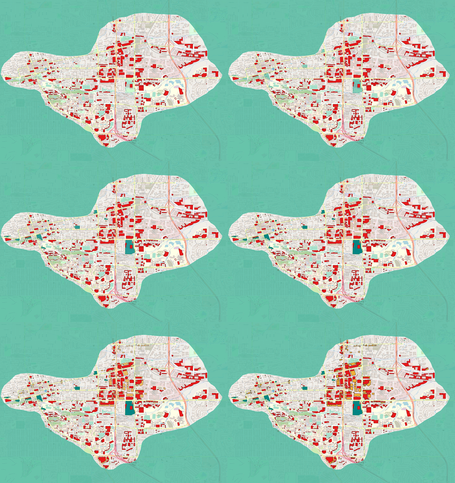
a GIF showing the QGIS data for three different land uses
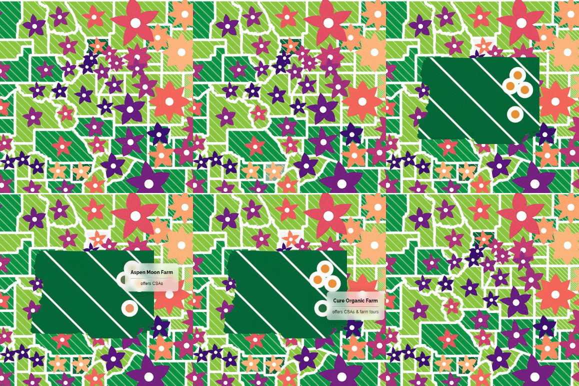
a graphic from the site
